 |
|
||
|
|
|||
|
|
|
February 23rd, 2001 Lamont
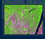
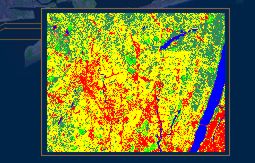
Hall, at Columbia Universitys Lamont-Doherty Earth Observatory 9:30: Breakfast 9:30 9:45: Introduction, Bob Chen, Deputy Director, CIESIN, and Manager, SEDAC 9:45 10:00: Workshop Goals, Francesca Pozzi, Research Associate, CIESIN 10:00 10:30: Remote Sensing Overview, Chris Small, Lamont-Doherty Earth Observatory, co-Project Scientist, SEDAC 10:30 12:30: Demonstration and discussion of prototype derived products:
12:30 1:15: Lunch (catered) 1:15 2:00: Discussion on users needs:
2:00 2:30: Discussion: Mechanisms for data sharing. 2:30 2:45: Break and change location (to Geoscience) 2:45 4:30: Hands On: Visit to Remote Sensing and Visual Lab and discussion of the images and the prototype derived products in more details.
|
 |
 |
 |
| For
more information about the workshop contact Francesca Pozzi, fpozzi@ciesin.columbia.edu.
|
||
| The Socioeconomic Data and Application center (SEDAC) is mantained by the Center for International Earth Science Information network (CIESIN) of Columbia University, under contract with the National Aeronautics and Space Administration (NASA-contract #NAS5-98162). | ||
|
Copyright © 1999. The Trustees of Columbia University in the City of New York. |
||