Data Sets (64)
| 3 of 4 |
Global Earthquake Proportional Economic Loss Risk Deciles, v1 (2000)Natural Disaster Hotspots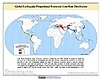
To provide a spatial surface of the proportional economic impacts of global earthquake hazard. |
Global Landslide Total Economic Loss Risk Deciles, v1 (2000)Natural Disaster Hotspots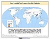
To provide a spatial surface of the total economic impacts of global landslide hazard. |
|
Global Earthquake Hazard Frequency and Distribution, v1 (
|
Global Earthquake Hazard Distribution - Peak Ground Acceleration, v1 (
|
|
Global Landslide Proportional Economic Loss Risk Deciles, v1 (2000)Natural Disaster Hotspots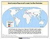
To provide a spatial surface of the proportional economic impacts of global landslide hazard. |
Global Volcano Total Economic Loss Risk Deciles, v1 (2000)Natural Disaster Hotspots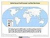
To provide a spatial surface of the total economic impacts of global volcano hazard. |
|
Global Drought Proportional Economic Loss Risk Deciles, v1 (2000)Natural Disaster Hotspots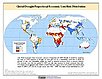
To provide a spatial surface of the proportional economic impacts of global drought hazard. |
Global Landslide Hazard Distribution, v1 (2000)Natural Disaster Hotspots
To provide a means of assessing the relative distribution and frequency of global landslide hazard. |
|
Global Drought Mortality Risks and Distribution, v1 (2000)Natural Disaster Hotspots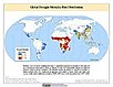
To provide a means of assessing global drought mortality risks and distribution. |
Global Flood Total Economic Loss Risk Deciles, v1 (2000)Natural Disaster Hotspots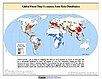
To provide a spatial surface of the total economic impacts of global flood hazard. |
|
Global Cyclone Mortality Risks and Distribution, v1 (2000)Natural Disaster Hotspots
To provide a means of assessing global cyclone mortality risks and distribution. |
Global Volcano Mortality Risks and Distribution, v1 (2000)Natural Disaster Hotspots
To provide a means of assessing global volcano mortality risks and distribution. |
|
Global Cyclone Total Economic Loss Risk Deciles, v1 (2000)Natural Disaster Hotspots
To provide a spatial surface of the total economic impacts of global cyclone hazard. |
Global Cyclone Proportional Economic Loss Risk Deciles, v1 (2000)Natural Disaster Hotspots
To provide a spatial surface of the proportional economic impacts of global cyclone hazard. |
|
Global Earthquake Mortality Risks and Distribution, v1 (2000)Natural Disaster Hotspots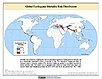
To provide a means of assessing global earthquake mortality risks and distribution. |
Global Flood Proportional Economic Loss Risk Deciles, v1 (2000)Natural Disaster Hotspots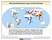
To provide a spatial surface of the proportional economic impacts of global flood hazard. |
|
Global Flood Mortality Risks and Distribution, v1 (2000)Natural Disaster Hotspots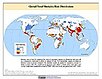
To provide a means of assessing global flood mortality risks and distribution. |
Global Earthquake Total Economic Loss Risk Deciles, v1 (2000)Natural Disaster Hotspots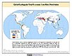
To provide a spatial surface of the total economic impacts of global earthquake hazard. |
|
Global Drought Hazard Frequency and Distribution, v1 (
|
Global Human Influence Index (Geographic), v2 (
|
| 3 of 4 |